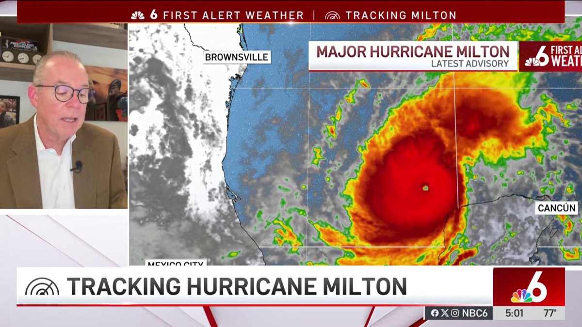
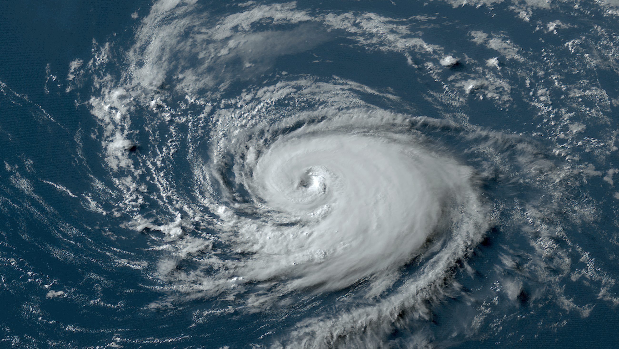
The alarming trend of rapidly intensifying hurricanes has become a significant concern in recent years, with the devastating impacts of these storms becoming increasingly pronounced. Recent examples such as Hurricane Otis, Hurricane Helene, and the ongoing threat of Hurricane Milton illustrate the unpredictable and catastrophic nature of modern cyclones.

Unforeseen Fury: Hurricane Otis
Last year, Hurricane Otis struck perilously close to Acapulco, Mexico, with winds reaching an astounding 165 miles per hour, classifying it as a Category 5 cyclone. Remarkably, just 24 hours before it made landfall, the National Hurricane Center (NHC) had predicted the storm would approach the coast as a mere 70-mile-per-hour tropical storm. This drastic underestimation meant that Otis arrived with 13 times the destructive potential originally anticipated.
Even as the hurricane warning was issued, the NHC still forecasted that Otis would impact Mexico’s Pacific coast as an ordinary Category 1 hurricane. For a region that had never experienced a storm stronger than Category 1, the impact of a Category 5 hurricane with little to no warning was catastrophic, leading to widespread devastation and loss.
The Rapid Rise of Hurricane Helene
Less than a year later, Hurricane Helene showcased the ongoing trend of rapid intensification on September 26th. In a mere 24 hours, Helene’s winds escalated by an astonishing 55 mph, nearing the “extreme” rapid intensification threshold of 58 mph. This storm surged from an 80-mph low-end Category 1 hurricane to a ferocious 140-mph Category 4 cyclone in just one day. According to the Saffir-Simpson Hurricane Wind Scale, while a Category 1 hurricane typically causes “minimal” damage, a Category 4 storm results in “devastating” destruction.
Helene’s intensity was driven by sea temperatures that were over 3 degrees Fahrenheit higher than historical averages, a situation made significantly more likely—by a factor of 600—due to climate change, as highlighted by Climate Central’s CSI Ocean index. Such warming oceans are fueling the growth of stronger tropical cyclones, which have become the costliest weather disasters in the United States.
The Catastrophic Onset of Hurricane Milton
Now, Hurricane Milton has emerged as yet another alarming example of this trend. Initially a mundane tropical storm with 50 mph winds, it escalated into a monstrous 180 mph Category 5 hurricane in just 36 hours. The sea surface temperatures in the region where Milton is developing are at record-breaking highs, with rapid attribution analysis indicating that these temperatures were made up to 400-800 times more likely due to climate change in just the past two weeks.
After narrowly missing the northern coast of the Yucatan Peninsula, Milton is expected to weaken slightly before making landfall in Florida late Wednesday evening. Since 2017, the United States has faced eight Category 4 and 5 hurricanes, equaling the number of such landfalls that occurred in the previous 57 years.
The Overall Trend: A Growing Concern
This concerning trend aligns with observations showing an increase in tropical cyclone intensification rates in the Atlantic basin between 1982 and 2009. The number of storms rapidly intensifying from Category 1 (or weaker) to major hurricanes more than doubled from 2001-2020 compared to 1971-1990. Looking globally, the proportion of tropical cyclones reaching very intense levels (Categories 4 and 5) is expected to rise, highlighting an urgent need for enhanced preparedness and adaptation measures as these storms become more frequent and more powerful.

However, the unpredictable nature and increasing intensity of hurricanes call for a heightened awareness of climate change’s impact on our planet. As storms like Otis, Helene, and Milton become more common, communities must be prepared for the unprecedented challenges they pose.


Comments are closed, but trackbacks and pingbacks are open.