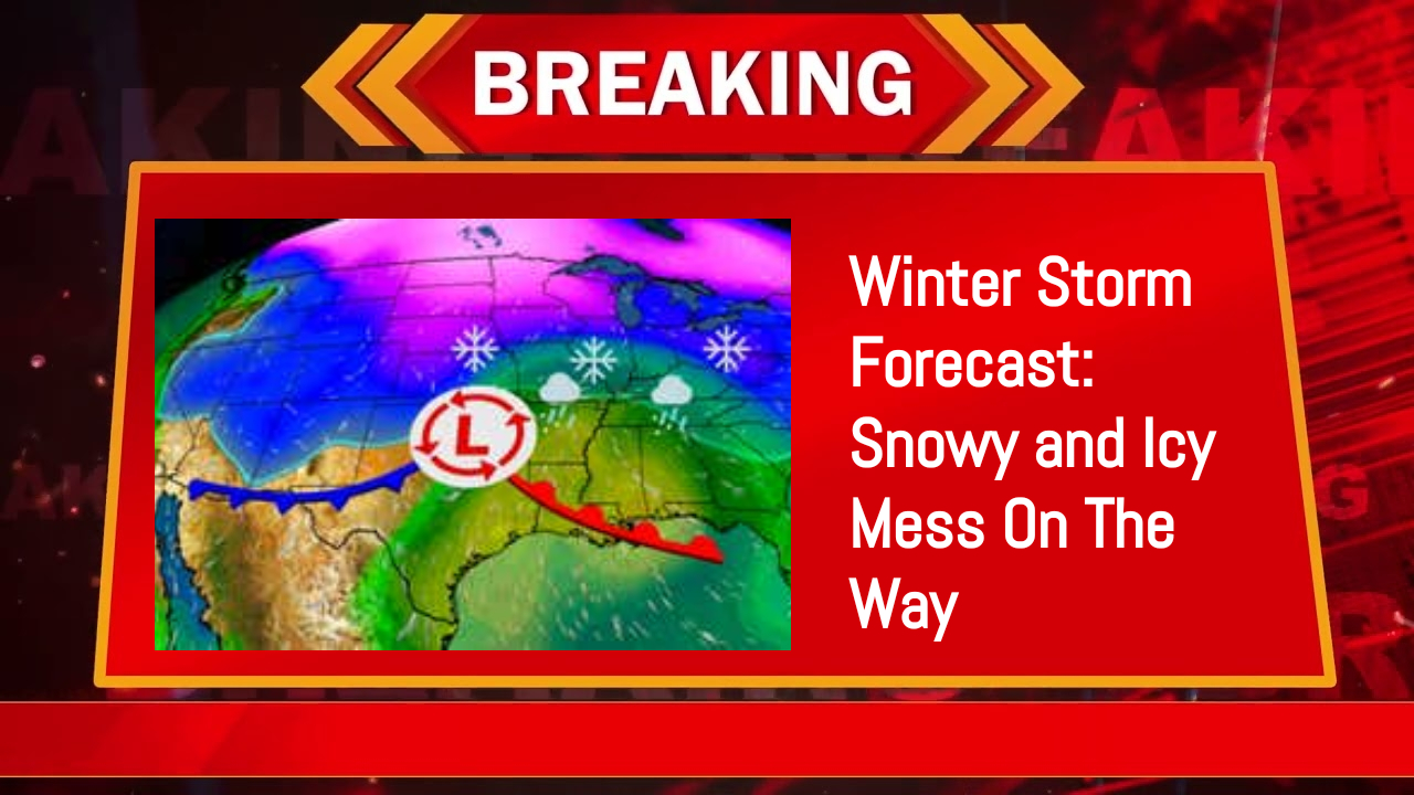
Brace Yourself: A Monster Winter Storm Is Bringing Snow, Ice, and Chaos
Post-holiday travel in several states may be hampered by an extensive winter storm that is expected to bring snow and ice from the Plains to parts of the Midwest and mid-Atlantic this weekend and Monday.
A wide area from Kansas to Indiana and Kentucky is under a winter storm watch. Travel in this area is predicted to be challenging this weekend due to heavy snow or a combination of snow, sleet, and freezing rain.
Ahead of this system, which is expected to arrive on Friday with moderate to heavy snow and gusty winds, winter weather alerts have also been issued for the northern Plains, the northern Rockies, and the Cascades.
The Current Location of the Storm A disturbance that is presently over the northern Pacific Ocean will give rise to the winter storm. On Friday, the system will move into the Pacific Northwest, bringing with it mountain snow and rain.
The precise course of the storm’s low pressure will determine which regions will experience the most snowfall and who may have to deal with accumulating ice as it moves eastward through the central and eastern United States this weekend and Monday.

When Saturday and Saturday evening: The northern and central Rockies will see a large amount of snow throughout the day. With winter weather reaching as far east as the mid-Mississippi valley overnight, snow and some ice will also start to appear in the Plains and continue to do so throughout the evening.
How Much Snow And Ice To Expect
In the Central Plains and Midwest, particularly in the darker purple shaded regions of the map below from northeast Kansas into portions of Missouri, the southern halves of Illinois, Indiana, and Ohio, and possibly northern Kentucky, there is a good chance that this storm will bring a stripe of snow measuring six inches or more.
It’s too early for totals, but at least some light to moderate accumulating snowfall is possible throughout the mid-Atlantic. The Ohio Valley and Appalachians could be most affected from central and southern Kansas by ice in the form of sleet and freezing rain.
Although it’s a little early to give specifics, we can’t rule out at least some damaged tree limbs and/or isolated power outages, and travel consequences are expected.


Comments are closed, but trackbacks and pingbacks are open.