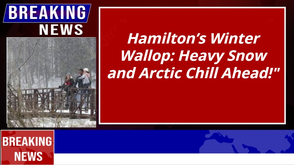
Hamilton’s Winter Wallop: Heavy Snow and Arctic Chill Ahead!
Hamilton, NY – Winter has its icy grip on Hamilton, with a powerful storm bringing heavy lake-effect snow, freezing temperatures, and blustery winds. Residents should prepare for hazardous travel conditions and the coldest stretch of the season so far.
What to Expect: Snow and Cold Dominate
A Lake Effect Snow Warning is in effect until 4:00 PM EST Sunday, with snowfall expected to pile up quickly:
- Snowfall Totals: 8–16 inches in the most persistent bands, with areas in western Oneida County potentially seeing up to 2 feet.
- Wind Gusts: Up to 35 mph, creating blowing snow and reducing visibility to near zero in some areas.
- Temperatures: Hovering in the low 20s°F (-5°C to -6°C) during the day and plunging to the teens or single digits overnight.

Daily Forecast
- Saturday, January 4: Cloudy and cold with snow showers adding 1–2 inches by evening. High of 23°F (-5°C), low near 17°F (-8°C).
- Sunday, January 5: Breezy with heavy snow showers adding another 3–6 inches. High of 24°F (-5°C), low of 10°F (-12°C).
- Monday, January 6: Overcast and bitterly cold. High of 17°F (-9°C), low near 8°F (-14°C).
The snow continues into midweek with cold temperatures persisting, so be prepared for a wintry week.
Safety Tips for Hamilton Residents
- Avoid Unnecessary Travel: If you must drive, keep an emergency kit with a flashlight, food, and water.
- Prepare for Low Visibility: Blowing snow will make travel treacherous. Take extra caution on the roads.
- Bundle Up: With wind chills making it feel even colder, dress in layers and limit time outdoors.
- Check on Neighbors: Ensure vulnerable individuals, including seniors and pets, have access to warmth and safety.
Be Ready for Winter’s Fury
This storm brings the classic unpredictability of lake-effect snow, with heavy accumulation and rapidly changing conditions. Stay updated, stay prepared, and stay safe as Hamilton weathers this winter blast!


Comments are closed, but trackbacks and pingbacks are open.