

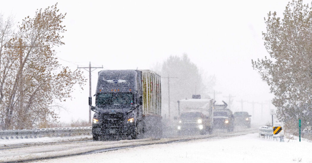
Treacherous Roads Ahead! Snow, Ice, and Dense Fog Will Make Driving in Colorado Extremely Dangerous

If you’re planning to hit the roads, think again! A brutal winter mix of snow, ice, and dense fog is gripping parts of Colorado, making driving conditions treacherous. Up to 4 inches of fresh snow, freezing fog, and strong winds will continue to create slick roads and near-zero visibility through 1 PM MST today. This storm isn’t just a nuisance—it’s a real danger for drivers.
What’s Happening?
- Snowfall: 1 to 4 inches expected, with heavier amounts at higher elevations.
- Freezing Fog: A thin layer of ice may glaze roads, bridges, and sidewalks, making surfaces extremely slippery.
- Winds: Gusts up to 40 mph could cause blowing snow and whiteout conditions in open areas.
Who’s Most Affected?
- Northern & Southern El Paso County – Including Colorado Springs, Monument Ridge, and surrounding areas.
- Teller County & Pikes Peak Region – Snow-packed roads and reduced visibility expected.
- Pueblo County – Cold temperatures will make icy conditions persist.
What This Means for You
- Morning and Afternoon Commutes Will Be Dangerous – Expect significant slowdowns and possible road closures.
- Black Ice Risk on Roads and Sidewalks – Freezing fog may leave a thin, invisible layer of ice, making surfaces extremely hazardous.
- Flight Delays Possible – If you’re traveling, check for delays at Denver and Colorado Springs airports.
Comments are closed, but trackbacks and pingbacks are open.