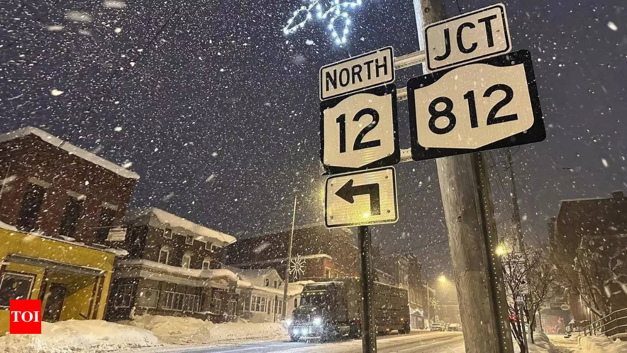
Snow & Ice Incoming: These States Face Major Weekend Storm!
The storm is expected to stretch from Texas and the Midwest all the way to the Northeast, potentially causing hazardous travel conditions, power outages, and disruptions to daily life.
Meteorologists have forecasted another powerful winter storm set to impact the United States this weekend, bringing a mix of snow, ice, and heavy rainfall. The storm is expected to stretch from Texas and the Midwest all the way to the Northeast, potentially causing hazardous travel conditions, power outages, and disruptions to daily life. As temperatures drop and precipitation intensifies, residents in affected regions should prepare for dangerous road conditions and possible flight delays. Authorities are closely monitoring the system, urging people to stay informed and take necessary precautions as the storm approaches.

Why It Matters
This winter has already been marked by multiple severe storms across the U.S., and the latest system threatens to add to the season’s challenges. Freezing temperatures not only create discomfort but can also pose serious health risks, particularly for vulnerable populations such as infants, the elderly, and those with preexisting health conditions. Beyond health concerns, winter storms can lead to widespread power outages, leaving households without heat and essential utilities. Additionally, heavy snowfall and icy conditions can significantly impact transportation, making roads treacherous and increasing the likelihood of accidents and travel disruptions.
What To Know
According to the latest forecast from AccuWeather, this upcoming winter storm has the potential to bring a mix of snow and ice across a vast region, including the Midwest, the Great Lakes, and the Northeast. The storm’s trajectory suggests it could impact millions of people, with accumulations of snow and freezing rain leading to hazardous road conditions, flight delays, and potential infrastructure strain. Residents in affected areas should stay updated on weather alerts and prepare accordingly to minimize risks associated with the storm.
The upcoming
The storm’s impact is expected to stretch across a wide range of states, including Oklahoma, Kansas, Missouri, Iowa, Illinois, Michigan, Wisconsin, Indiana, Ohio, Kentucky, Virginia, West Virginia, Pennsylvania, New Jersey, Vermont, Connecticut, Rhode Island, New York, New Hampshire, and Maine. These areas are at risk for a variety of winter weather conditions as the storm moves through.
AccuWeather meteorologists predict that much of the Ohio Valley will experience primarily rain, as the storm is expected to be tempered by a reduction in Arctic air. However, regions in the mid-Atlantic and southern New England may see snow and ice initially, especially as the storm begins to intensify. As colder air moves in over the course of the weekend, it could cause the rain to transition into snow. This shift could result in accumulating snowfall in cities like Kansas City, St. Louis, Cincinnati, and Pittsburgh, potentially leading to hazardous travel conditions and disruptions across these areas.
According to meteorologist Roys, the heaviest snowfall from the approaching winter storm is expected to impact Wisconsin, central Michigan, upstate New York, and northern areas of New England. These regions are likely to see significant snow accumulation as the storm progresses.
Roys also noted that some areas in northern Maine could receive up to two feet of snow, although this projection is not yet certain. The actual snowfall totals will depend on the storm’s final track and intensity, but residents in these regions should prepare for potentially heavy snowfall and hazardous travel conditions.
Southern U.S. Also at Risk
In addition to the northern states facing heavy snowfall, the storm is also expected to bring a zone of moisture to parts of the southern United States. Areas likely to experience rain and stormy conditions include the Florida Panhandle, Louisiana, Mississippi, Alabama, and Georgia.
According to meteorologist Tyler Roys, more severe weather threats could emerge in a corridor stretching from Houston, Texas, to Nashville, Tennessee, and southeastern Kentucky. This region may experience damaging winds, flash flooding, and even tornadoes as the storm system intensifies.
What Experts Are Saying
Speaking to Newsweek, AccuWeather meteorologist Tyler Roys described the upcoming system as a “cross-country storm,” emphasizing its wide-reaching impact. “This weekend’s winter storm in the East actually began on the West Coast. It’s moving inland today and will push into the Plains by Friday afternoon or evening,” Roys explained.
As the storm advances, snow is expected to develop across the Midwest, with initial snowfall likely between 1 p.m. and 7 p.m. on Friday. As the system moves further east into the Ohio Valley, snowfall will expand eastward, potentially impacting multiple states with accumulating snow and hazardous travel conditions.


Comments are closed, but trackbacks and pingbacks are open.