


Central New York is now under a Lake Effect Snow Warning from tonight through Saturday morning, with the potential for a foot or more of snowfall, according to the National Weather Service (NWS).
In addition to the heavy snowfall, strong wind gusts of up to 35 mph are expected, which will blow snow around, creating hazardous travel conditions and significantly reducing visibility on roadways. These conditions could lead to whiteouts and make driving extremely difficult, particularly in open areas prone to drifting snow.
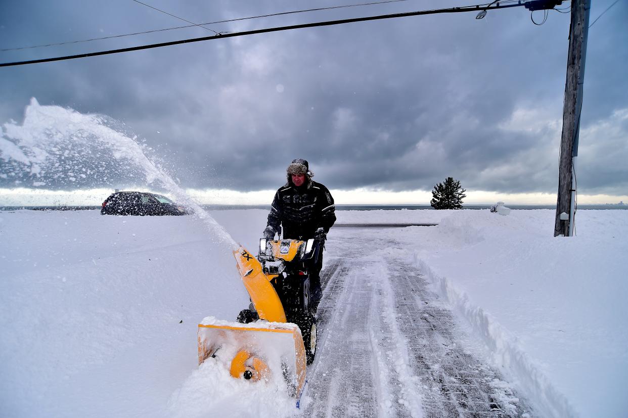
Residents are advised to exercise caution, avoid unnecessary travel, and stay updated with the latest weather alerts as conditions could worsen overnight.
The National Weather Service (NWS) has warned that travel conditions could become extremely hazardous due to slippery roads and reduced visibility caused by heavy snowfall. In areas experiencing the most intense snow bands, visibility could drop to less than a mile, making driving particularly dangerous and challenging.
This Lake Effect Snow Warning will remain in effect from 4 p.m. today until 1 a.m. Saturday, during which time snowfall is expected to accumulate significantly. Motorists are urged to drive with caution, allow extra travel time, and be prepared for rapidly changing road conditions. Those who do not need to travel are advised to stay off the roads until conditions improve.
The National Weather Service (NWS) forecasts that Syracuse could receive between 8 inches and a foot of snow as a lake effect snowstorm moves through the region. However, some areas, particularly a swath across southern Oswego and northern Onondaga counties, could see even heavier snowfall, with totals exceeding 18 inches or more in some locations.
Lake effect snow is known for its unpredictability, and snowfall amounts can vary dramatically over very short distances. The NWS emphasizes that while one area may experience intense, heavy snowfall, a location just a few miles away might see little to no accumulation at all.
“During lake effect snow, the weather can range from bands of locally heavy snow to completely dry conditions just a short distance away,” the NWS stated. “Residents should be prepared for sudden and drastic changes in weather, visibility, and road conditions.”
The day will begin on a relatively mild note, with temperatures reaching around 40 degrees by late morning. Some light rain is possible early in the day, accompanied by strong winds gusting up to 30 mph.
By 2 p.m., light snow is expected to begin falling, gradually intensifying as the evening progresses. The heaviest snowfall is predicted to occur after midnight, continuing through the late morning hours of Friday, potentially creating hazardous travel conditions.
Another winter storm is expected to impact the region over the weekend, potentially bringing heavy snowfall and a mix of wintry precipitation. Early forecasts suggest that Syracuse could receive another foot of snow between Saturday and Sunday, though uncertainty remains regarding temperatures and the type of precipitation that will fall.
Meteorologists are closely monitoring the system, as slightly warmer temperatures could result in a mix of snow, sleet, and rain rather than all snow. The exact track of the storm and temperature fluctuations will determine how much snow accumulates versus how much melts due to rain.
“This period will bring very active winter weather, with multiple rounds of snow, mixed precipitation, and some rain expected throughout the weekend,” the National Weather Service stated.
Residents should stay informed about updated forecasts and be prepared for potentially hazardous travel conditions as the weekend storm develops.
Comments are closed, but trackbacks and pingbacks are open.