

Weather Emergency: Unseasonable Cold Grips Manhattan While Severe Storms Loom!
 By Shiwangi Arya
Share with new partner:
By Shiwangi Arya
Share with new partner: Manhattanites are waking up to a surprisingly cold morning, with temperatures dropping well below what’s normal for this time of year. While the city should be warming up as we move deeper into March, today feels like winter is making a last-minute comeback. But the cold isn’t the only concern—a dangerous storm system is developing that could bring severe thunderstorms, damaging winds, and even tornadoes to parts of the East Coast this weekend.
Chilly Start to the Day: How Cold Will It Get?
The morning begins with temperatures at 40°F (4°C), and even as the sun rises, the high for the day is expected to reach only 47°F (8°C). Normally, Manhattan would be enjoying temperatures in the mid-50s by now, but this unexpected dip in the mercury is a sharp reminder that March weather can be unpredictable. For those heading out, it’s best to dress in layers and prepare for a day that feels more like February than mid-March. The cloud cover will increase throughout the day, making it feel even colder.
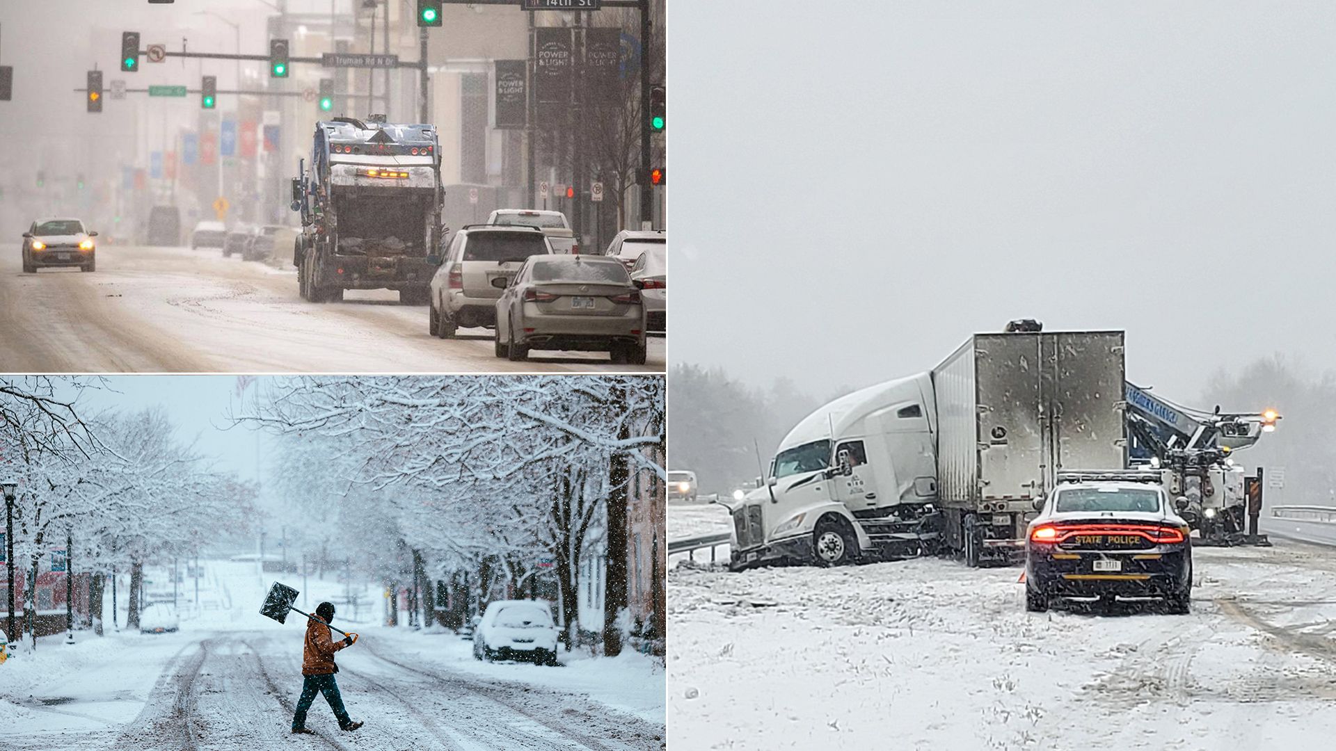
Severe Weather Threat: A Multi-Day Storm System is on the Way
While today’s cold is uncomfortable, the real concern is what’s coming next. Meteorologists are closely watching a powerful storm system set to hit the central U.S. by Friday, bringing with it the risk of tornadoes, large hail, and destructive winds. Initially, areas like St. Louis, Memphis, and Little Rock will bear the brunt of the storm, but by Sunday, the system will push east, bringing severe thunderstorms to cities along the East Coast—including New York City.
What Can Manhattan Expect This Weekend?
By Sunday, the system will likely bring:
- Strong winds that could cause power outages
- Heavy rain leading to possible street flooding
- A chance for severe thunderstorms, possibly with damaging gusts
While tornadoes are more likely in the Midwest and South, meteorologists aren’t ruling out the possibility of dangerous storm conditions in New York City.
What Should You Do to Prepare?
- Stay informed – Keep an eye on local weather updates as forecasts may change.
- Secure outdoor furniture and objects – Strong winds could turn them into dangerous projectiles.
- Prepare an emergency kit – Flashlights, extra batteries, water, and non-perishable food are always good to have.
- Be ready for travel disruptions – Storms could impact flights, subway services, and road conditions.
Looking Ahead: Manhattan’s Weather Forecast
Here’s what the next few days look like for Manhattan:
- Thursday, March 14 – Mostly cloudy, High: 47°F (8°C), Low: 42°F (5°C)
- Friday, March 15 – Partly sunny, High: 54°F (12°C), Low: 42°F (6°C)
- Saturday, March 16 – Mostly cloudy, High: 57°F (14°C), Low: 54°F (12°C)
- Sunday, March 17 – Windy and warm with possible afternoon rain, High: 64°F (18°C), Low: 49°F (9°C)
- Monday, March 18 – Morning rain, cloudy afternoon, High: 57°F (14°C), Low: 40°F (5°C)
Final Thoughts: Stay Alert, Stay Safe
Manhattan may be feeling the cold now, but this weekend’s storm system is the real weather event to watch. If you have outdoor plans for Sunday, consider making backup plans indoors. This storm has the potential to bring disruptive weather, so staying informed and prepared is crucial. New Yorkers are used to wild weather swings, but this week’s forecast is shaping up to be one of the most dramatic in recent months. Stay safe, stay warm, and be ready for whatever Mother Nature throws at us next.
Comments are closed, but trackbacks and pingbacks are open.