

Delaware on High Alert: Severe Storms Bring Flash Flooding, Winds, and Hail!

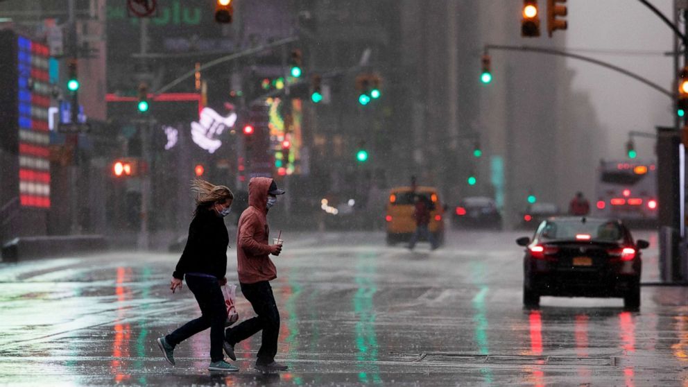
Delaware is bracing for a weather rollercoaster this week as thunderstorms and heavy rainfall are expected to move across the state. The National Weather Service has issued a Severe Thunderstorm Warning for the region, with conditions that could bring damaging winds, hail, and the risk of flash flooding. This stormy weather is expected to last for the next 48 hours, and residents are urged to prepare for potential disruptions.
Thunderstorms Set to Hit Delaware
The first wave of severe thunderstorms will likely strike Wilmington, Dover, and surrounding areas later today, bringing with them a potent mix of heavy rain and frequent lightning. Wind gusts up to 60 mph are possible, which could cause tree limbs to snap, power lines to go down, and local outages in the affected regions. The storms are expected to intensify later in the afternoon, making it critical for residents to stay updated and take precautions.
Flash Flooding Risk in Low-Lying Areas
In addition to the powerful storms, flash flooding is becoming a significant concern. The heavy rainfall expected to accompany the storms could overwhelm drainage systems, particularly in low-lying areas. Route 1 and other coastal roadways are especially vulnerable to rising waters, which can quickly become dangerous. Authorities are advising drivers to avoid flood-prone streets and to stay home if possible. Even a few inches of moving water can cause major damage or put lives at risk.
Hail and Strong Winds Could Cause Property Damage
While the rain and lightning will be the most noticeable aspects of the storm, hail and high winds could pose additional hazards. Hailstones up to 1 inch in diameter could cause damage to vehicles, roofs, and outdoor property, while wind gusts may reach speeds of 60 mph, enough to bring down trees and power lines. Residents are urged to secure loose outdoor objects, such as furniture, umbrellas, and trash cans, to minimize damage.
Prepare for Power Outages and Disruptions
The combination of strong winds, hail, and potential flooding raises the likelihood of power outages throughout Delaware. Dover, Rehoboth Beach, and Lewes could see outages as the storms develop. Now is the time to charge devices, gather flashlights, and stock up on emergency supplies. If you live in a vulnerable area, make sure you have a plan in place in case of an extended power outage.
What to Do to Stay Safe
As the storm approaches, residents should take action to protect themselves and their homes. Here are the steps you need to take:
-
Monitor Weather Alerts: Keep up with the latest updates from the National Weather Service, especially if your area is under a Severe Thunderstorm Warning.
-
Avoid Floodwaters: Never attempt to drive through flooded roads. If you encounter flooded streets, turn around and find an alternate route.
-
Seek Shelter: Stay indoors during the storm and avoid standing near windows or electrical equipment when lightning is present.
-
Prepare for Power Outages: Make sure you have backup power for essential items, and keep your phone charged in case you need to make emergency calls.
Delaware is in for a stormy stretch, with severe weather expected to bring thunderstorms, heavy rain, and flash flooding over the next two days. With the risk of property damage and the possibility of widespread power outages, residents must be prepared and take precautions to stay safe. By staying informed, avoiding flooded areas, and securing their homes, Delawareans can reduce the risks and weather this storm with confidence.
Comments are closed, but trackbacks and pingbacks are open.