


A Winter Weather Advisory has been issued for a large portion of the Chicagoland area, warning residents of hazardous travel conditions throughout the day on Wednesday. The advisory, which is set to take effect at 9 AM on Wednesday and remain in place until 3 AM on Thursday, highlights the potential for heavy snowfall, slick roads, and reduced visibility, making both morning and evening commutes treacherous.
The affected counties include McHenry, Lake (IL), DeKalb, Kane, DuPage, Cook, LaSalle, Kendall, Grundy, Will, and Kankakee in Illinois, as well as Lake, Porter, LaPorte, Newton, and Jasper in Indiana. Authorities are urging motorists to exercise caution, allow extra travel time, and stay updated on road conditions as the storm moves through the region.
Residents should prepare for rapidly changing weather conditions, with snow accumulation potentially leading to delays and disruptions. If travel is necessary, officials recommend carrying an emergency kit, driving at reduced speeds, and maintaining a safe following distance. The combination of snowfall and falling temperatures may also lead to icy patches on untreated roads and sidewalks, increasing the risk of accidents.
As the winter storm progresses, forecasters advise staying informed through local weather updates and advisories to ensure safety throughout the duration of the storm.
Light snow showers are expected to begin overnight and persist into Wednesday morning, creating a wintry start to the day before the main storm system moves in around 9 to 10 AM. As this more intense system arrives, snowfall will quickly increase in coverage and intensity, leading to worsening travel conditions across the region.
The heaviest snowfall is forecasted to occur between 11 AM and 6 PM, with snowfall rates reaching up to 1 inch per hour at times. This could lead to rapid accumulation on roads, reducing visibility and making travel dangerous, especially during the afternoon commute.
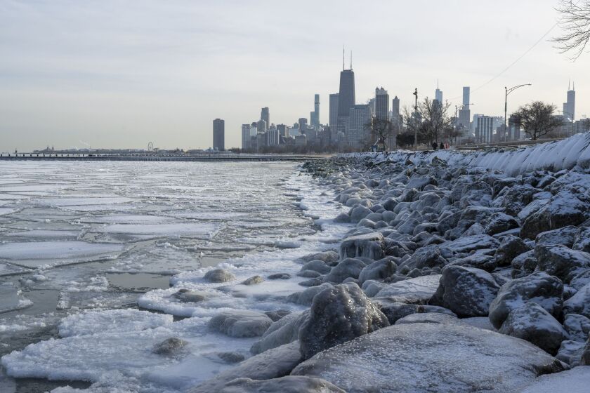
In terms of overall accumulation, most areas can expect total snowfall between 3 to 6 inches, though isolated locations near Lake Michigan—where lake-enhanced snowfall is possible—could see totals closer to 7 inches. The combination of steady snowfall and falling temperatures may result in slick and icy roadways, particularly in the late afternoon and evening.
Travelers should be prepared for snow-covered roads, reduced visibility, and potential delays throughout the day. Authorities urge drivers to allow extra travel time, reduce speed, and use caution when navigating wintry conditions.
Winter Storm Timeline & What’s Next
As the evening progresses, snowfall intensity will begin to diminish, but wintry precipitation may persist in some areas. Locations south of I-80 could experience a wintry mix of freezing rain or sleet, creating icy conditions on roads and sidewalks. The snow is expected to gradually taper off after midnight, bringing an end to the storm, but lingering slick spots may remain into the early morning hours.
What Comes Next: A Deep Freeze Sets In
Once the storm moves out, bitterly cold temperatures will take hold. Thursday’s high temperature will be recorded just after midnight, hovering in the low 20s, but temperatures will steadily drop throughout the day, falling into the teens by the afternoon.
By Friday morning, the cold will intensify, with temperatures plummeting near 0 degrees. Even though the afternoon will see a slight warm-up into the 20s, it will still feel frigid, especially with wind chills factored in.
Another round of snow is possible Friday night into Saturday, potentially bringing additional snowfall accumulations. However, forecast details remain uncertain, and meteorologists are closely monitoring the system’s development.
Sunday will remain brutally cold, with morning snow showers giving way to dry but freezing conditions. By Monday morning, temperatures could drop below zero, marking the start of a prolonged deep freeze across the region.
How to Prepare
 Expect hazardous travel conditions Wednesday afternoon and evening due to accumulating snow and possible ice.
Stay informed by keeping an eye on updated forecasts, especially regarding Friday night’s potential snowfall.
Prepare for extreme cold heading into next week—bundle up, protect exposed skin, and ensure your home and vehicle are winter-ready.
With dangerous cold and additional snow on the horizon, staying prepared and vigilant will be key in navigating the upcoming winter weather.
Comments are closed, but trackbacks and pingbacks are open.